20 Oct Vintage Biblical Maps of Israel Rare Collection 1930s – The Unbreakable Jewish Bond To The Land of Israel
We are proud to present the gallery’s collection of Vintage Biblical Maps dating back to 1938. Printed during the darkest days of the Holocaust, these maps not only show the landscape of Israel but tell the land’s biblical story. They symbolize the unbreakable bond between the Jewish people and their homeland, paving the way for the dream of Israel’s rebirth.
The 1930s were pivotal years that shaped Israel as we know it today. Jewish communities in Europe and across the globe understood the deep urgency for a Jewish state in the Land of Israel. Demographic shifts began as large waves of Jewish immigrants fled Nazi and anti-Semitic Europe, while significant Jewish land purchases transformed the landscape. The maps produced during these critical years not only guided a people returning home but also hold deep significance in the history of the Jewish connection to Eretz Yisrael and Jerusalem.
McNally printing-
McNally was a notable printer and publisher in the early to mid-20th century, known for producing various types of maps and educational materials. Established in the late 19th century, McNally gained recognition for its quality printing and detailed cartography.
During the 1930s, the company created maps that were often used in schools and by individuals seeking to understand global geography, especially during a time of significant political change. The maps from this period reflect the geopolitical realities of the time, including the British Mandate of Palestine.
-
Physical Map of Palestine Holy Land, Colorful Vintage Biblical, Rand McNally, 1938
$450.00 Buy Now -
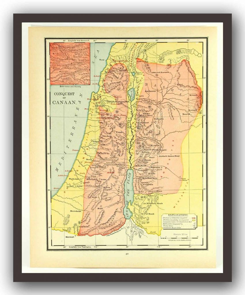
Vintage Biblical Map Conquest of Canaan, Rand McNally, 1938
$550.00 Buy Now -
Vintage Biblical Map Division of Solomon’s Empire Rand McNally, 1938
$500.00 Buy Now -
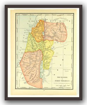
Vintage Biblical Map Kingdom of Herod The Great Rand McNally, 1938
$500.00 Buy Now -
Vintage Biblical Map Lands of the Sojourn and Wandering Rand McNally, 1938
$520.00 Buy Now -
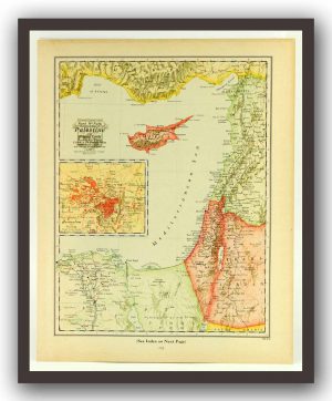
Vintage Biblical Map Palestine and Related Lands Colorful Rand McNally, 1938
$600.00 Buy Now -
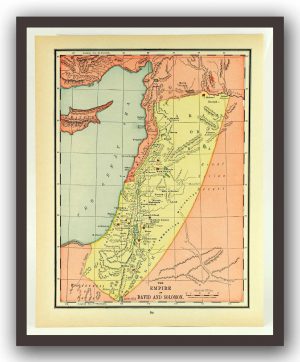
Vintage Palestine Biblical Map Empire of David and Solomon Rand McNally, 1938
$350.00 Buy Now



Sorry, the comment form is closed at this time.