
 Original Group Photo of Maccabi Tel Aviv Wrestling club, 1930
Shop
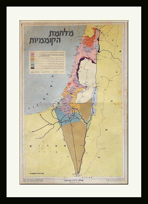

Vintage Israeli Poster Map of “War of Independence” 1950s
$950.00
1 in stock
| Dimensions | 32 × 49 cm |
|---|---|
| Artist / Creator | |
| Technique | |
| Year | 1950 |
| Size | 49×32 cm ~ 19×13 inch |
| A |
Description
Vintage Israeli Poster Map of “War of Independence” 1950s
The map depicting the steps of the wars of Independence from 14.5.1948- 20.07.1949(Armistice agreement) printed in Jerusalem. KartaSome spots on the top of the map (see images).Contact us for more details.The poster can be framed cost of $95
Israel’s War of Independence (1947-1949) In human terms, the War of Independence was Israel’s costliest war, with over 6,000 Israelis were killed and 15,000 wounded. The war consisted of 39 separate operations, fought from the borders of Lebanon to the Sinai Peninsula and Eilat. null Israeli soldiers view Syrian tank destroyed at Kibbutz Degania (Photo: GPO) In December 1946 – at the first post-war Zionist Congress in Basle – David Ben Gurion assumed the defense portfolio, including responsibility for the Haganah, which at the time concentrated on the struggle against the British.
All our products are 100% original
World Wide Free Shipping
The Farkash Gallery packs each item professionally. We work with the leading postal companies - UPS, FeDex etc. When
shipping internationally, the buyer is responsible for any customs, duties, or taxes that are set by your destination
country.
Delivery
Estimated Delivery Time is 7-14 days.
Payments
PayPal - Visa, Mastercard, American Express, Discover
Returns
Returns accepted if product not as described. Buyer pays return shipping fee.
100% Money back guarantee (Not including shipping costs)
Guarantee
Money Back Guarantee. Get the item you ordered or get your money back. Buy with confidence.
Related Products
-
Israel’s old Map, Children’s Game Board, Independence War 1949 Bar-levi
$0.00 -

Vintage Israeli Map of South America published by Yedioth Ahronoth 1950s
$650.00 Buy Now -
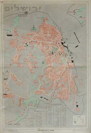
Vintage Poster Israeli Map “The Old City of Jerusalem”
-
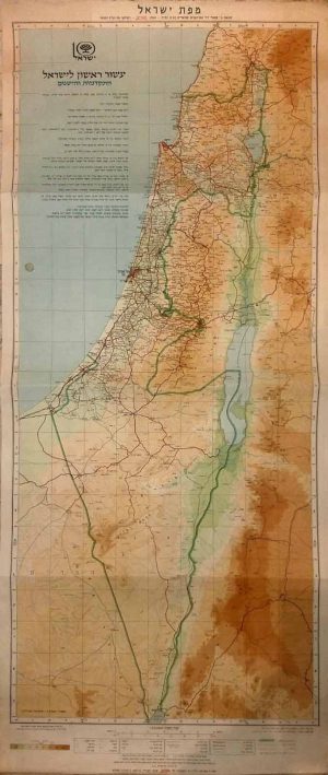
Vintage Map Of The Achievements Of Israel “Israel’s 10th Anniversary of Independence” 1958
$0.00