
 066h Israeli Independence Day poster 2014 Time for women achievements and challenges
Shop

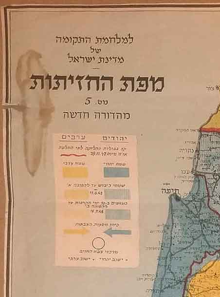
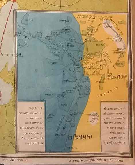
Vintage Rare Map of The Battles Fronts of Israel Independence War Was Printed During The War June 18, 1948
$0.00
SOLD
| Dimensions | 30 × 45 cm |
|---|---|
| A | |
| Artist / Creator | |
| Year | |
| Condition | |
| Technique |
Description
Extremely Rare Map of The Battles Fronts of Israel Independence War Was Printed During The War June 18, 1948
“Fighting Israel, War Map on the eve of 5709”. Published by Dr. J. Szapiro, Tel Aviv, 1948.
Map of Israel showing the different fronts in the Independence War, occupied territories until the first ceasefire and the second ceasefire, territories of the fighting parties, centers of the enemy’s powers and borders of the partition plan according to the UN resolution of November 29, 1947. By this map appears a map of Jerusalem.
Size with the frame 55×45 cm
All our products are 100% original
World Wide Free Shipping
The Farkash Gallery packs each item professionally. We work with the leading postal companies - UPS, FeDex etc. When
shipping internationally, the buyer is responsible for any customs, duties, or taxes that are set by your destination
country.
Delivery
Estimated Delivery Time is 7-14 days.
Payments
PayPal - Visa, Mastercard, American Express, Discover
Returns
Returns accepted if product not as described. Buyer pays return shipping fee.
100% Money back guarantee (Not including shipping costs)
Guarantee
Money Back Guarantee. Get the item you ordered or get your money back. Buy with confidence.
Related Products
-
003rd Israeli Independence Day Vintage Poster Israel 1951
$0.00 -
62nd Israel Independence Day Vintage Israeli Poster 2010
$1,400.00 -

049th Israeli Independence Day Vintage Israeli Poster 1997 The Year of Zionism
$1,200.00 Buy Now -
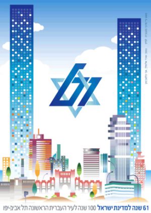
061st Israeli Independence Day poster 2009. 100 Years to Tel Aviv, The First Hebrew City
$0.00